Projects
A selection of commercial, industrial and creative projects showing how aerial imagery and visual data can be used to support inspections, planning and communication.
Each project is approached differently depending on the environment, objective and required outputs, from inspections and mapping through to visual media and documentation.
Commercial & Industrial Projects
Selected projects focused on inspections, mapping, site understanding and visual documentation across commercial and industrial environments.
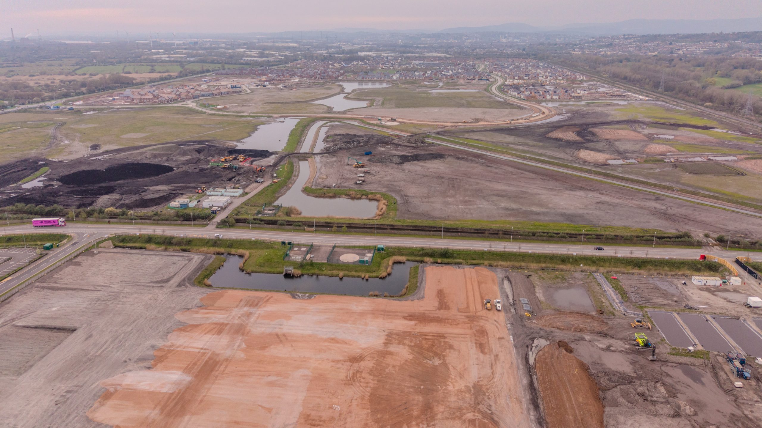
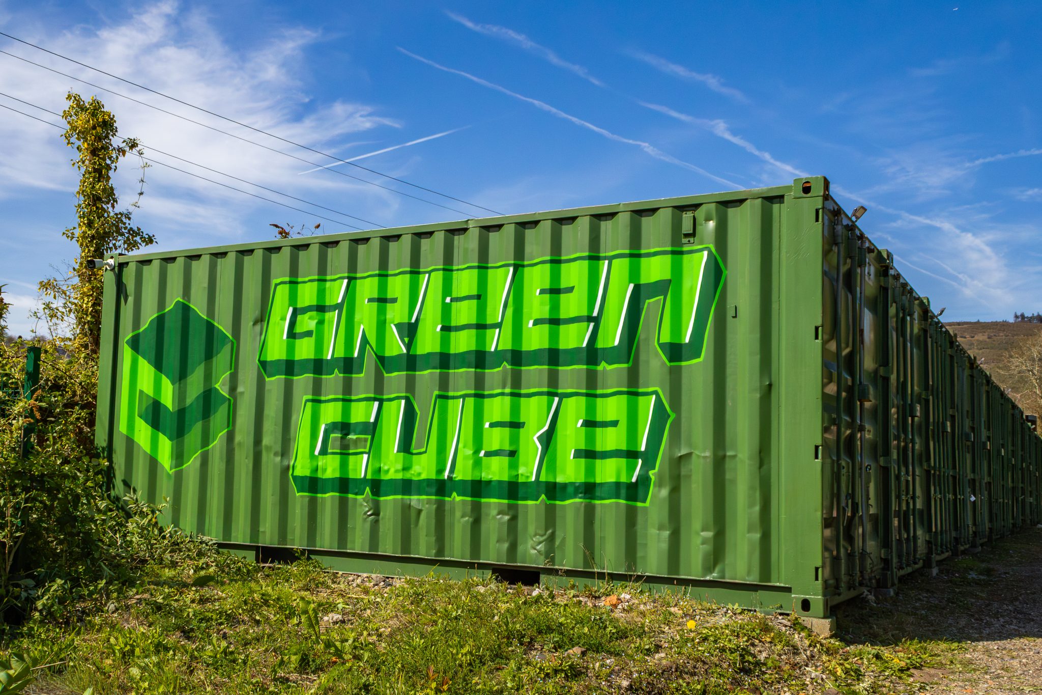
Greencube Storage
Ongoing aerial mapping and site documentation supporting operational visibility and future development planning.
Mapping & documentation
Commercial Roof Inspection
Aerial inspection imagery captured to support assessment and visual review of a commercial property roof in Newport city centre.
Inspection support
Construction Documentation
Independent aerial documentation of an active construction environment, demonstrating site overview capture and changing site conditions.
Site documentation
Industrial Environment Study
Exploratory aerial imagery captured within an industrial environment to demonstrate structure visibility, context and operational surroundings.
Independent project
Independent & exploratory projects
Independent projects exploring industrial environments, landscape context and visual storytelling through aerial and ground-based imagery.
Blaenonneu Quarry
Independent aerial documentation exploring terrain, elevation and landscape scale within a disused quarry environment.
Exploratory project
Every project starts with a conversation
If you’re looking for clear aerial visuals, inspection support or project documentation, feel free to get in touch to discuss what would be useful for your site or environment.
