

Cosgrove UAV Services – 2025 Pricing
I provide high-quality aerial inspections, mapping, and media services for residential, commercial, and industrial clients. Discounts are available for multiple properties or assets.
Get in touch for a tailored quote!
 Residential Services
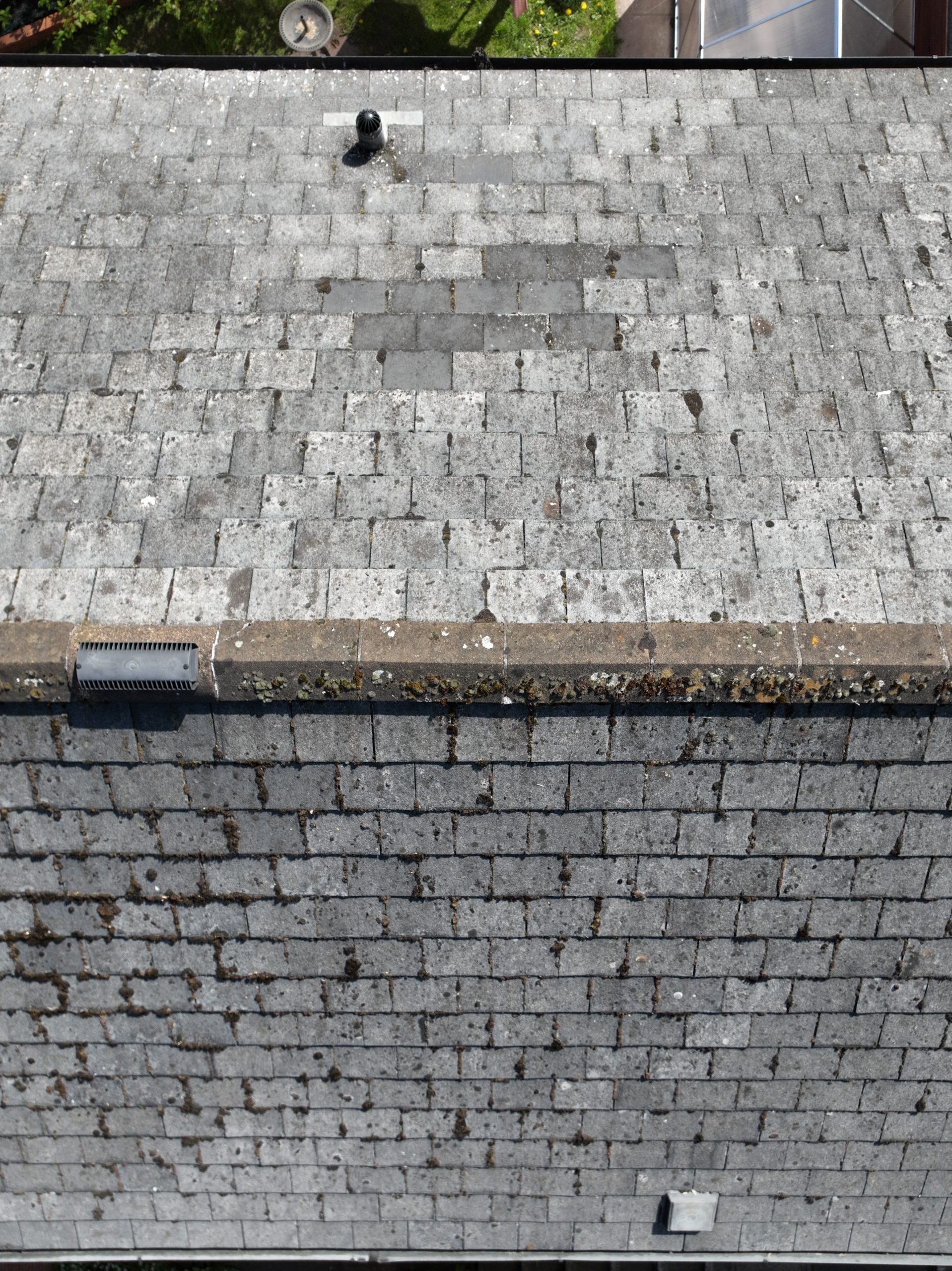
 Aerial Roof Inspection – £110+
Aerial images for roof condition assessments, with a PDF report.
Property Listing Photos (Unedited) – £85+
Aerial photos for property listings.
Property Listing Photos (Edited) – £130+
Aerial photos with professional editing.
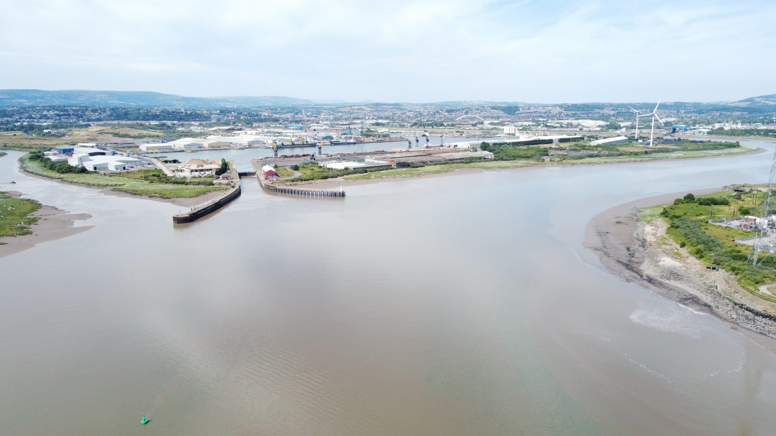
 Commercial Services
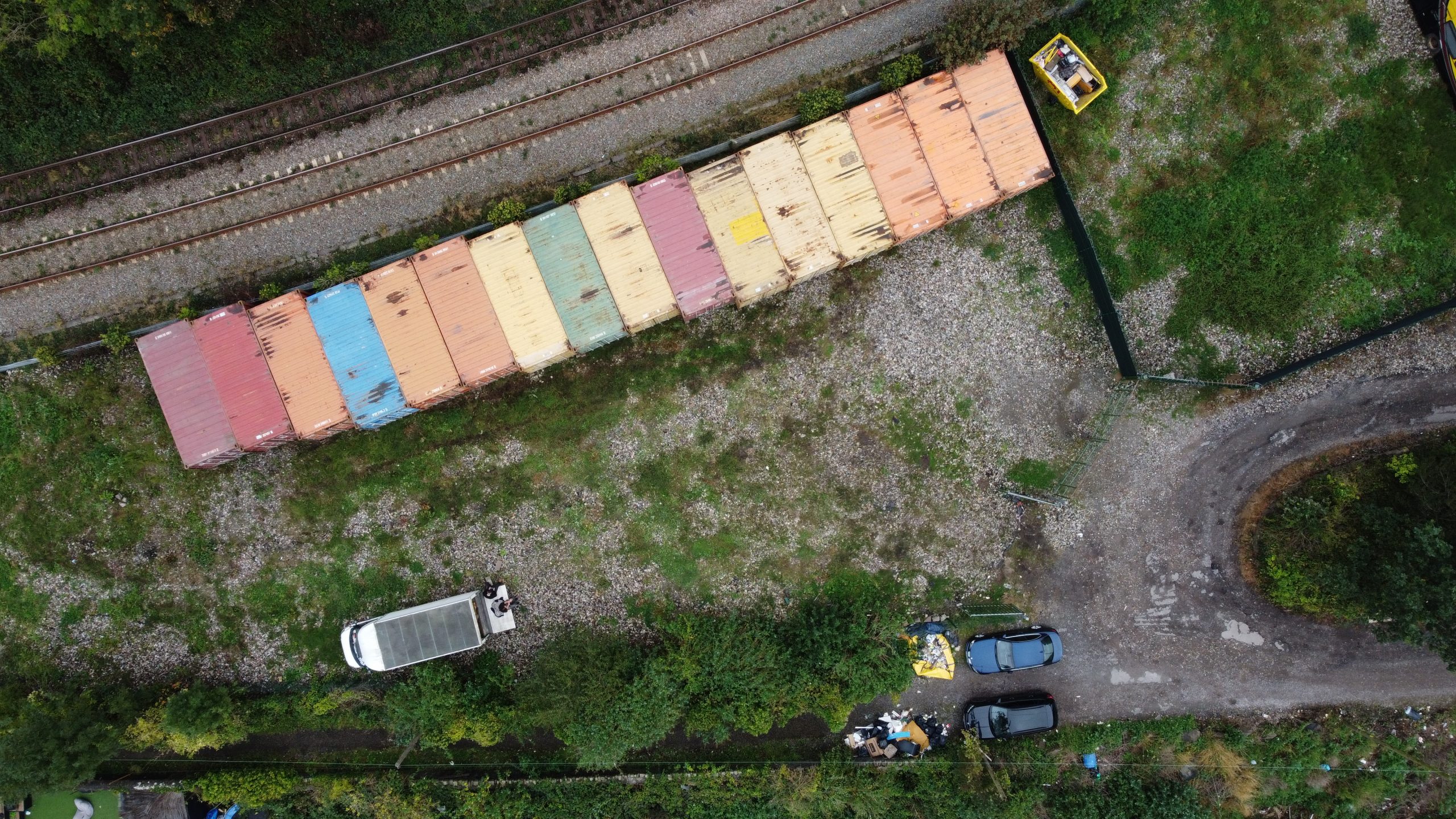
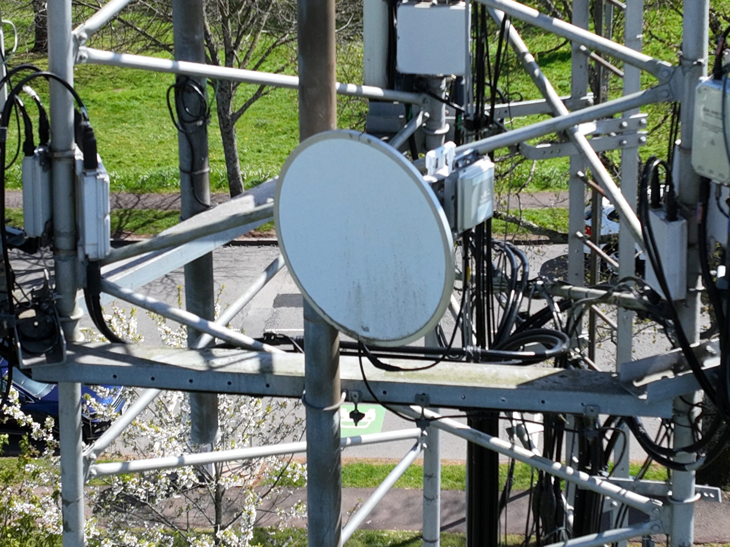
Aerial Asset Inspection – £165+
Inspection of commercial roofs, HVAC units, and assets.
Commercial Roof Inspection – £220+
Detailed imagery for comprehensive roof assessments.
Area Mapping (Up to 500sqm) – £275+
Detailed aerial mapping for commercial properties.
Area Mapping (500sqm – 1,500sqm) – £385+
Larger-scale mapping for bigger sites.
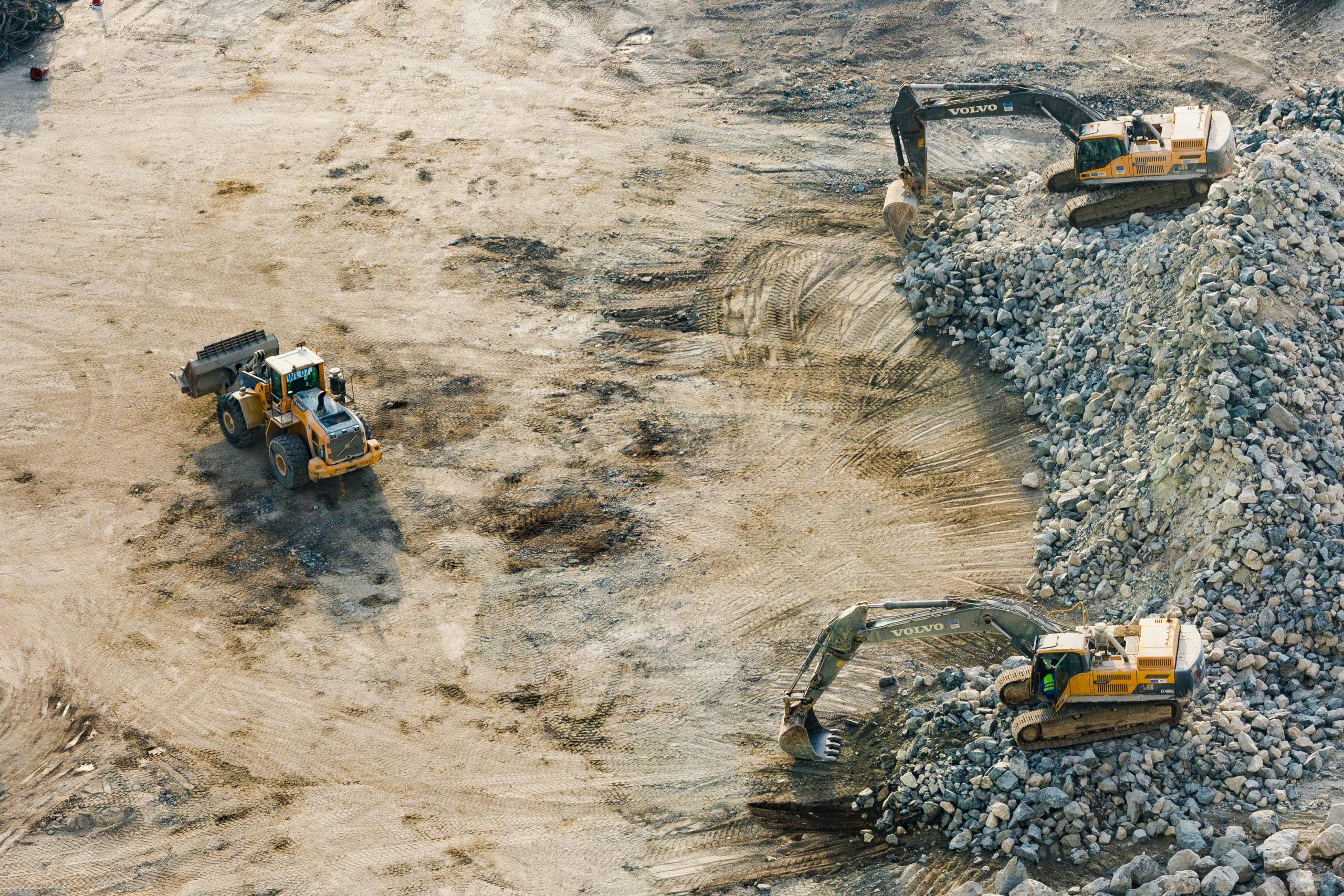
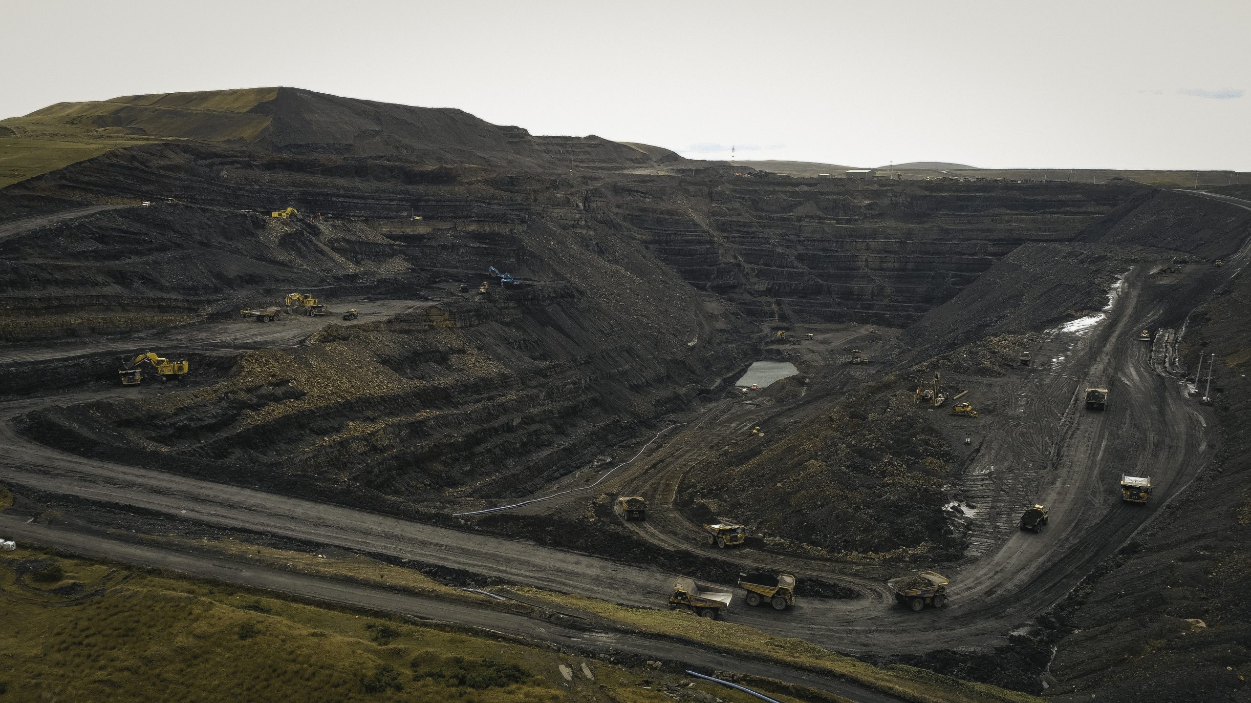
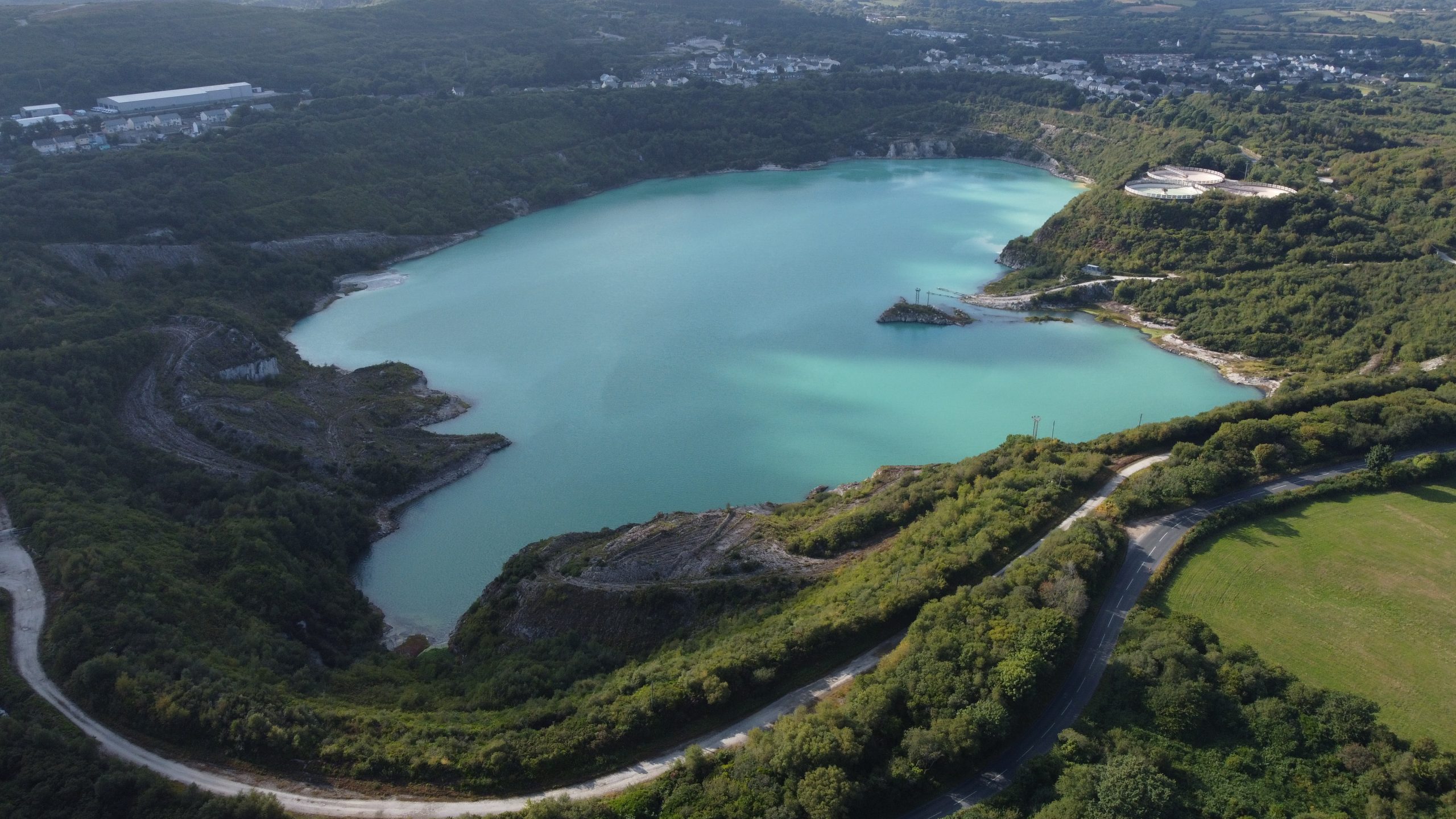
 Industrial Services
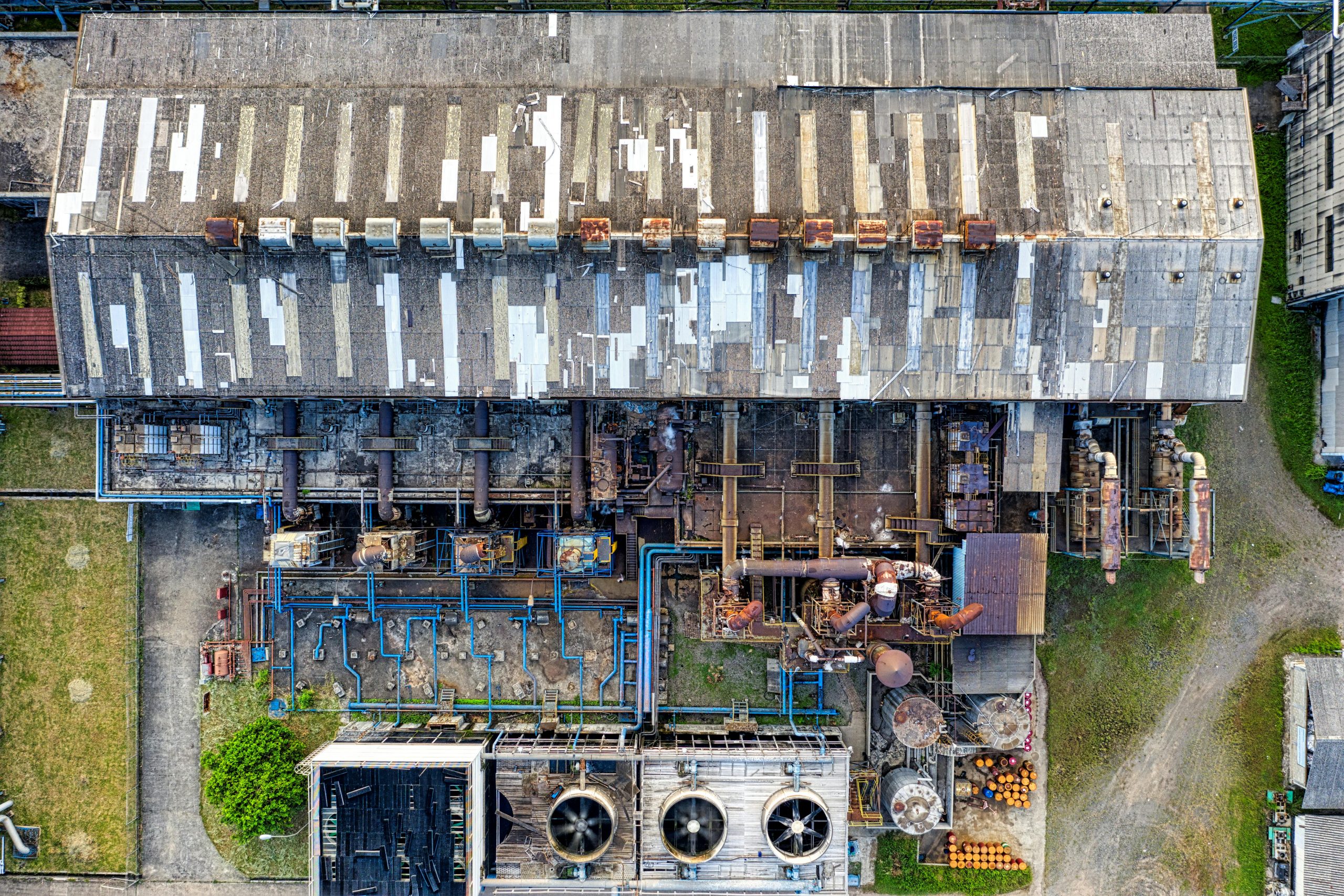
Aerial Asset Inspection – £275+
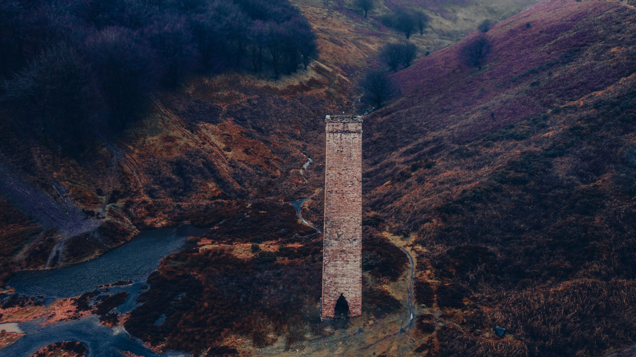
Inspection of industrial assets such as turbines and chimneys.
3D Modelling & Rendering – £440+
3D digital twin of industrial buildings or assets.
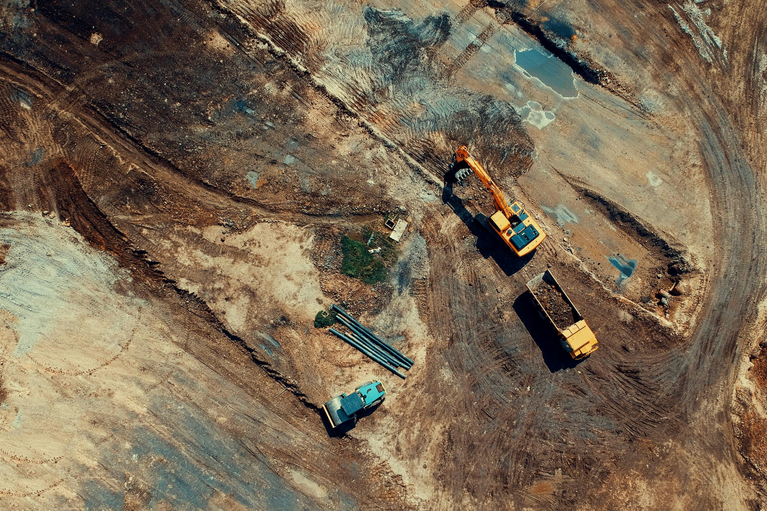
Area Mapping (Up to 1,500sqm) – £550+
Detailed mapping of industrial sites.
Area Mapping (1,500sqm – 2,500sqm) – £660+
Large-scale industrial site mapping with high detail.
 Advertising Footage
Raw Advertising Footage – £110+
Unedited aerial footage for promotions and ads.
Edited Advertising Footage – £220+
Professionally edited aerial footage for marketing campaigns.
 Mileage
Up to 15 miles – Free
Over 15 miles – £0.41 per mile
 Book Now: Get in touch to discuss your project and get a quote!
Email: info@cosgroveuavservices.com
Tel: 01633 328 550